Agriculture
Environmental measurement software for agriculture.
GXLab helps agricultural teams plan, collect, analyse and report soil and environmental data across farms, projects and supply chains.
Use one workflow for farm assessments, soil sampling, lab results, carbon projects, natural capital programs and client-ready reporting.
Platform
Bring farm, field and lab data into one place.
Agricultural projects often run across paddock maps, spreadsheets, sampler notes, lab portals, PDFs and client reports. GXLab connects the workflow so your team can manage the full measurement cycle with cleaner data and fewer manual steps.
Farm and project setup
Upload boundaries, organise farms, define project areas and structure data by client, property, paddock, depth, sample round and objective.
Spatial sample planning
Create sample plans using farm boundaries, project zones, stratification layers, soil variability and methodology requirements.
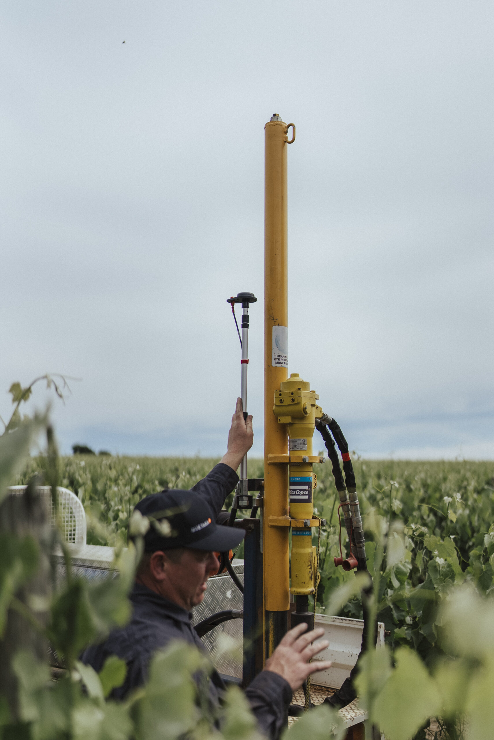
Mobile field collection
Navigate to sample points, capture GPS locations, record barcodes, take photos and collect field notes through the mobile app.
Laboratory connections
Link samples to lab submissions and bring results back against the correct farm, paddock, point, depth and sample round.
Data analysis
Review soil results, compare changes over time, map variation and identify useful patterns across farms, zones and management units.
Reporting outputs
Generate clear reporting for producers, advisors, corporates, carbon projects and sustainability programs.
Environmental Farm Assessments
Assess the farm before the project starts.
GXLab supports preliminary environmental farm assessments that help teams understand the property, identify risks, plan measurement and define the right project pathway.
Assessments can combine farm boundaries, existing soil data, land use, management history, spatial layers, field observations and sampling requirements.
- Farm boundary and paddock review
- Existing soil and environmental data review
- Land use and management context
- Sampling feasibility and project planning
- Baseline data for carbon, natural capital or productivity programs
View Example Report

Project support
Software plus the services needed to get carbon and agronomy projects done.
GXLab can support the full measurement workflow, from early project design through to sample coordination, lab data management, analysis and custom reporting.
Planning
Build practical measurement plans using historic data, farm assessments, spatial layers, stratification and project objectives.
- Boundary review
- Project area setup
- Sampling plan design
- Methodology alignment
Sampling
Coordinate in-field sampling using digital plans, mobile data capture and structured sample metadata.
- Sampler tasking
- Point navigation
- Barcode capture
- Photo and field note records
Analysis
Connect test results to the correct locations and turn raw data into spatial, statistical and project-level insight.
- Lab result matching
- Soil trend review
- Spatial interpretation
- Management unit comparison
Custom reporting
Reports built around the decision you need to make.
Different agricultural projects need different outputs. A producer report is not the same as a compliant & audit proof carbon project report, a corporate sustainability report or an internal agronomy review.
GXLab can generate custom reporting that turns farm and soil data into practical outputs for clients, auditors, supply chains and management teams.
Request a demo- Environmental farm assessment reports
- Soil carbon and natural capital reports
- Soil fertility and productivity summaries
- Project dashboards and client portals
- Spatial maps and sample round summaries
- Executive reports for corporates and asset managers
- Audit-ready data exports
Use cases
Built for agriculture projects that need defensible data.
GXLab is suited to projects where soil, environmental and farm data need to be collected consistently, linked to location and reported clearly.
Soil carbon projects
Plan sample rounds, manage stratification, coordinate samplers, connect lab results and support project reporting requirements.
Natural capital programs
Collect and organise environmental data across farms to support baseline assessment, monitoring and reporting.
Precision agriculture
Use soil test data, spatial layers and sampling history to support better agronomic decisions and targeted management.
Corporate sustainability
Structure farm-level data for supply chain reporting, ESG programs, Scope 3 projects and environmental claims.
Advisory workflows
Help agronomists and consultants manage client farms, sample plans, soil results and recommendations from one workspace.
Benchmarking and monitoring
Track soil and environmental indicators over time to compare farms, paddocks, management units and project rounds.

Field workflow
Field data that stays connected to the project.
Sampling is where project data can fall apart. GXLab keeps sample locations, barcodes, photos, notes, lab submissions and results tied together from the start.
- Offline and online field collection
- GPS point navigation
- Barcode and sample ID capture
- Photo records and field notes
- Depth, round and location metadata
- Clear handover from field team to laboratory
Workflow
From assessment to report.
GXLab gives teams a repeatable pathway for agricultural measurement projects.
Assess
Review the farm, available data, project objectives, risks and measurement requirements.
Plan
Create boundaries, zones, sample plans and field tasks aligned to the project method.
Collect
Capture sample points, barcodes, field notes and photos through the mobile app.
Report
Turn results into maps, summaries, calculations, dashboards and client-ready reports.
Who it helps
For advisors, producers, corporates and project developers.
GXLab is designed for teams that need to manage environmental data across many farms, many users and many reporting requirements.
Advisors and agronomists
Manage client farms, sampling programs, soil data, maps and recommendations in one system.
Carbon and natural capital teams
Coordinate project planning, field sampling, lab data and reporting across farms and regions.
Producers and land managers
Understand soil condition, track change over time and use data to support management decisions.
Corporates and asset managers
Collect consistent farm-level data for sustainability reporting, supply chain programs and environmental claims.
Make agricultural measurement easier to run, audit and report.
GXLab connects project planning, field collection, lab results, environmental assessment and custom reporting into one agriculture workflow.